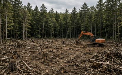
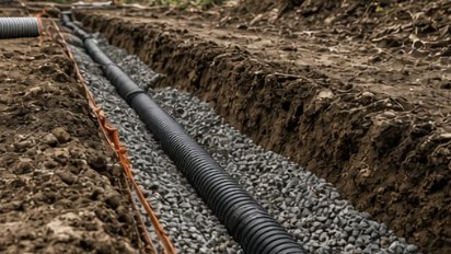
Tamworth runs from the Ossipee Range in its southwest corner up to the foot of the Sandwich Range — sixty square miles, five villages, a little under three thousand people. It has no comprehensive zoning. That doesn’t mean no rules. It means the rules live in the subdivision regulations, a floodplain ordinance and a groundwater ordinance, and you have to know where to look.
Five state routes cross the town — 16, 25, 41, 113 and 113A — stringing together Tamworth village, Chocorua, South Tamworth, Whittier and Wonalancet. The Bearcamp comes in from Sandwich at the mouth of the Cold River and runs east along Route 25 toward Ossipee Lake, collecting the Swift and the Chocorua on the way, so almost the whole town drains to one river. Under the valleys it’s sand and gravel: the U.S. Geological Survey mapped a Bearcamp River aquifer here and the western edge of the Ossipee Lake aquifer, and since January 2024 that stratified drift has been a Groundwater Protection District. Up toward Black Snout, 2,689 feet in the Ossipee Range, it’s till and rock. Subdivision lot size follows the soil group and the slope, not a district line.
Ask the town office two things before you buy land in Tamworth: what class of road the frontage is on, and whether the lot is inside the Groundwater Protection District. Either answer can change what you’re allowed to build.
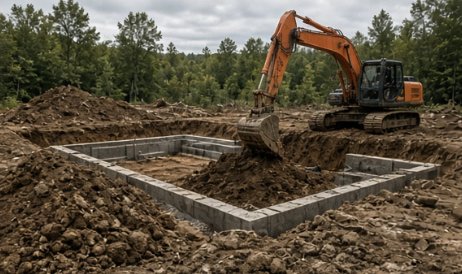
Foundations, pads, trenches, and grading — test pits first, flat quotes, on schedule.
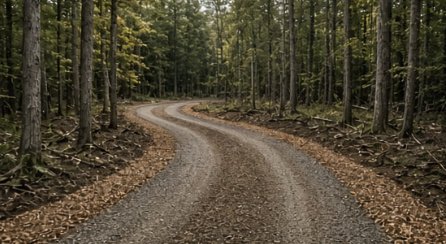
Gravel driveways built with real base and crown — and washouts fixed for good.
Free site walks, test pits before quotes, flat pricing, and a crew that knows Lakes Region ground.
Tell us where the property is and what you’re trying to do. We’ll walk the site, talk it through, and give you a straight, flat quote.
We reply to every request within 2 business hours.