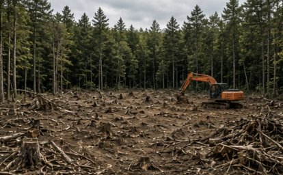
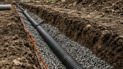
Ossipee is the county seat of Carroll County — seventy-five square miles, almost five of them under water, and a good share of the rest sitting on sand. The Ossipee Mountains rise along the west side of town and Ossipee Lake fills the northeast corner. In between we clear, dig, build drives and move water on ground that goes from rock outcrop to loose outwash inside a couple of miles.
Six villages — Center Ossipee, Ossipee Corner, West Ossipee, Moultonville, Water Village and Granite — strung along Routes 16, 25, 28 and 171, and a lot of camps in between: at the 2010 census better than forty percent of the town’s housing units stood vacant, and 1,045 of those were seasonal. Center Ossipee has municipal water and sewer, run out of the town plant on Dore Street; almost everywhere else it’s a well and a leach field. Much of the town sits over the stratified sand and gravel the U.S. Geological Survey mapped in its Saco and Ossipee basins study, and Ossipee wrote that map into its zoning in 1989 as the Water Resource Protection Districts. The town also sets minimum lot size by soil series and slope instead of one number per district, so the soil map matters here more than in most places.
Before you buy in Ossipee, look up the soil series under the lot and check whether it falls inside the Water Resource Protection map. Those two answers set the lot size, the clearing limits and half the drainage plan.
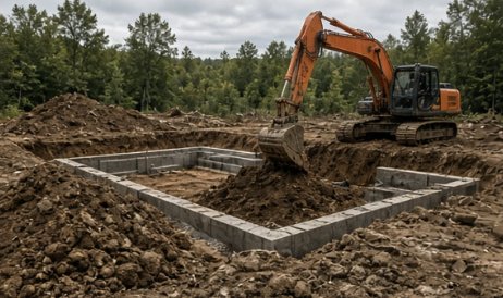
Foundations, pads, trenches, and grading — test pits first, flat quotes, on schedule.
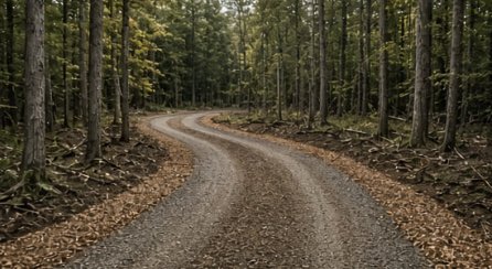
Gravel driveways built with real base and crown — and washouts fixed for good.
Free site walks, test pits before quotes, flat pricing, and a crew that knows Lakes Region ground.
Tell us where the property is and what you’re trying to do. We’ll walk the site, talk it through, and give you a straight, flat quote.
We reply to every request within 2 business hours.