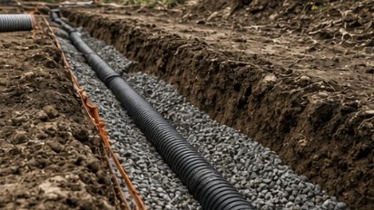
New Durham is the Route 11 town between Farmington and Alton — 43.8 square miles, about 2,700 people, and a watershed line running right through it. Rain on the north side ends up in Lake Winnipesaukee. Rain on the south side ends up in the Atlantic at Portsmouth. That split, and the rules the town wrote to protect its water, shape most of the dirt work here.
Merrymeeting Lake fills the north end: 1,233 acres, 120 feet at its deepest, with North Shore and South Shore Roads nearly circling it and a dam at the west end that the state’s Powder Mill Fish Hatchery sits right below. The south end is headwaters — the Cocheco and the Ela. Copple Crown Mountain rises on the eastern line, and at 1,712 feet the New Durham side of it is the high point of Strafford County. In between it’s woods, wetland and a lot of slope. The zoning ordinance, last amended in March 2023, stacks a shorefront overlay, a steep-slope overlay, a water quality overlay and a stormwater article on top of soil-based lot sizing with a 60,000-square-foot floor.
Before you buy land in New Durham, ask the Land Use Office which overlay districts touch the lot. Shorefront, steep-slope and wetland buffers each take a bite out of the buildable ground, and they can stack.
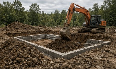
Foundations, pads, trenches, and grading — test pits first, flat quotes, on schedule.
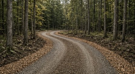
Gravel driveways built with real base and crown — and washouts fixed for good.
Free site walks, test pits before quotes, flat pricing, and a crew that knows Lakes Region ground.
Tell us where the property is and what you’re trying to do. We’ll walk the site, talk it through, and give you a straight, flat quote.
We reply to every request within 2 business hours.